Showing most recent first, in descending order
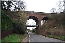
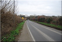
4 images in cluster Station Rd in TR1955
Image clustering - assigning images labels - is an automated process, based on the image title/description. It's not totally accurate, and can sometimes assign images to odd clusters
in TR1955, near Bekesbourne, taken Sunday, 8 January, 2012, by N Chadwick
Explore these images in the Browser or Explore matching images including in surrounding squares (if any!)
All images  © N Chadwick and licensed for reuse under this Creative Commons Licence
Other Automatic clusters in TR1955
- St Peter's Church
- Old Palace Road
- Oast
- School Lane
- Keeper's Hill
- Kent
- Norman North Doorway
- Footpath
- Railway Line
- Dry Ford
- Street in Patrixbourne
- Nail Bourne
- Chalk Pit
- Dates
- North Nave Window
- Path
- Near
- Nailbourne Stream
- Cobham Court
- Footbridge
- Old Palace Rd
- Flood
- Station Approach
- Station Rd
- Court Cottage
- Head Stop
- Western Entrance
- Lych Gate
- Parsonage Farm
- Ground
- River Bed
- Gravestone
- Field Used for Grazing Horses
- Medieval
- Primary School until the Early 1970
- Tank Traps by the Railway Line
- West Aspect
- Present House is Late C18 to C19