Showing most recent first, in descending order
5 images in cluster Stirling Road in NS4175
Image clustering - assigning images labels - is an automated process, based on the image title/description. It's not totally accurate, and can sometimes assign images to odd clusters

Explore these images in the Browser or Explore matching images including in surrounding squares (if any!)
Other Automatic clusters in NS4175
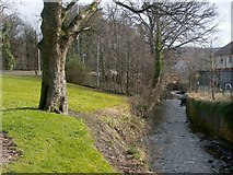
- Gruggies Burn
- Barnhill Road
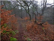
- Path in Overtoun Estate
- Construction at former site of Crosslet House
- Overtoun House Circular Path
- Garshake
- Greenhead Road
- Disused Quarry
- Council Offices
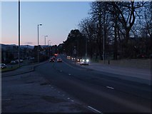
- A82 in Dumbarton
- Nature Trail
- Stirling Road
- Witch's Tunnel
- Demolition of the County Buildings
- Alclutha Avenue
- Edge of High Mains Quarry
- Woodland Edge
- Picture was Taken from Outside the Construction
- Strowan's Road
- Follows the Original Course of Barnhill Road
- Abbotsford Hotel
- Track to Dumbowie Hill
- Woodland Walk in Overtoun Estate
- Dumbarton Rock can be Seen
- Strathclyde Police H. Q.
- Silverton Post Office
- Ballagan Beds
- West Dunbartonshire Council Offices
- North British Railway Line
- Species