Showing most recent first, in descending order
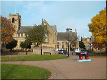
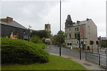
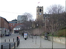
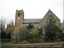
5 images in cluster Sunderland Minster in NZ3956
Image clustering - assigning images labels - is an automated process, based on the image title/description. It's not totally accurate, and can sometimes assign images to odd clusters
in NZ3956, near Sunderland/NZ3957

Explore these images in the Browser or Explore matching images including in surrounding squares (if any!)
Other Automatic clusters in NZ3956
- Mowbray Park
- Winter Gardens
- Mowbray Gardens
- Sunderland Museum
- Metro Station
- University of Sunderland
- Fawcett Street
- Burdon Road
- Railway Station
- Stockton Road
- House
- University Metro Station
- Shopping Street
- Ordnance Survey Cut Mark
- Place
- Sunderland Minster
- Gallery
- Outside Mowbray Park
- Bandstand
- West Sunniside
- Railway Path
- Road Junction
- Tower Block
- Shows 26 Miles from Stockton
- Overall Roof where the Block of Buildings
- Azalea Terrace
- Borough Pub
- Colourful Flower Bed in Mowbray Park
- Evening on Christmas Day 2014
- John Street
- Light Wall
- Memorial Wall
- Ornamental Lake
- Avenue