Showing most recent first, in descending order
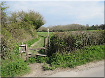
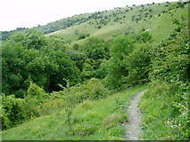
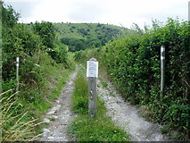
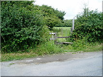
4 images in cluster Sussex Border Path in TQ3213
Image clustering - assigning images labels - is an automated process, based on the image title/description. It's not totally accurate, and can sometimes assign images to odd clusters
in TQ3213, near Westmeston
Explore these images in the Browser or Explore matching images including in surrounding squares (if any!)
Other Automatic clusters in TQ3213
- Underhill Lane
- South Downs Near Ditchling
- Field According to the 1843 Tithe Map
- West
- Pond
- Nature Reserve
- Deer Park
- Ridge
- Lilt Hill
- Dew Pond
- Car Park
- Limekiln Scarp
- Dewpond
- Road Junction
- South Downs Way Near Ditchling Beacon
- Sussex Border Path
- Burnhouse Bostall
- East Sussex
- Wick Farm
- Foreground is the South Downs Way
- Public Footpath
- Gate on the South Downs
- Hassocks and Keymer
- Wood
- Wheat
- Way Post
- Northern Escarpment
- Looking North
- Lit Hill
- Highest Point
- Footpath and Stile
- Access Land