Showing most recent first, in descending order
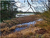
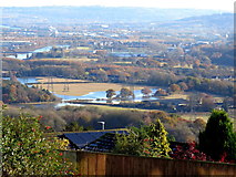
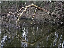
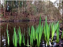
5 images in cluster Throckley Pond in NZ1465
Image clustering - assigning images labels - is an automated process, based on the image title/description. It's not totally accurate, and can sometimes assign images to odd clusters
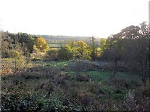
in NZ1465, near Ryton/NZ1564, by Andrew Curtis
When: 19 January, 2020
When: 18 November, 2019
When: 15 April, 2016
When: 15 April, 2016
When: 14 November, 2013
Explore these images in the Browser or Explore matching images including in surrounding squares (if any!)
All images  © Andrew Curtis and licensed for reuse under this Creative Commons Licence
Other Automatic clusters in NZ1465
- Wylam Railway
- Tide Stone
- North Bank
- Keelman's Way
- Heddon Haughs Farm
- Hadrian's Wall Path
- Golf Course
- Remains of Steam Drifter
- Reigh Pond
- Heddon on the Wall Railway Station
- Island
- Field
- Country Park
- Reigh Burn
- Throckley Pond
- Valley
- Footpath
- Heading
- Track East of Heddon Haughs Farm
- Ryton Golf Club
- Low Tide
- Blayney Row
- Great Mullein Verbascum Thapsus
- Margaret Pit
- Flood Plain
- Barn