Showing most recent first, in descending order
27 images in cluster Town Hall Street in SE0523
Image clustering - assigning images labels - is an automated process, based on the image title/description. It's not totally accurate, and can sometimes assign images to odd clusters
in SE0523, near Sowerby Bridge
When: 23 May, 2018
By: Roger Templeman
Explore these images in the Browser or Explore matching images including in surrounding squares (if any!)
Other Automatic clusters in SE0523
- Sowerby Street
- Rochdale Canal
- Hollins Lane
- Sowerby Bridge Mills
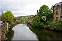
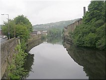
- River Calder
- West Street
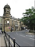
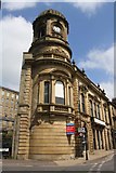
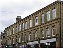
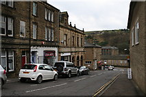
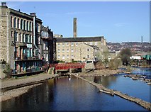
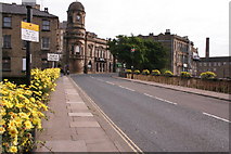
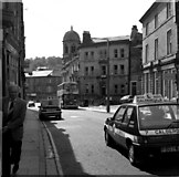
- Town Hall Street
- Sowerby New Road
- Jerry Lane
- Junction
- Wall
- Tuel Lane
- Victoria
- Stirk Bridge
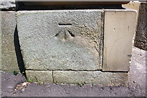
- Ordnance Survey Cut Mark Benchmark
- Bentley Royd
- Asquith Bottom Mills
- Hollins Hall Lane
- Norland
- A58
- Chimney
- Tower Hill
- Date
- Cemetery
- Corporation Mill
- Quarry Hill
- Short
- Footpath
- St George's Church
- North
- Cycle Route
- Upper Bentley Royd
- Old Milestone
- Royal Oak
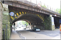
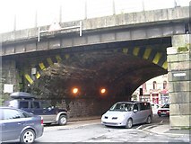
- Short Tunnel
- Puzzle Hall
- Alternative View
- White Windows
- Industrial Buildings
- Looking Downstream
- Nearest House
- Tillotson Avenue
- Eastern End of the Rochdale
- Corporation Street
- Long Chimney
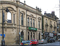
- Lloyds Bank
- Calder Valley
- Water Works
- Ryburn Valley
- Rivet Benchmark
- Police Station
- Old Haugh
- Date Stone
- Ghost Sign
- West Riding
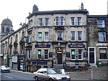
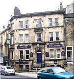
- Bulls Head
- Path Goes
- Pool and Fitness Centre
- Disused Railway Tunnel
- Lancashire Yorkshire