Showing most recent first, in descending order

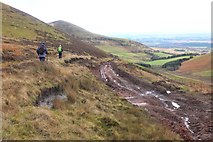
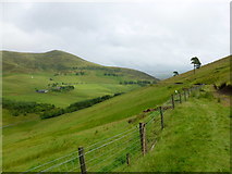
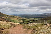
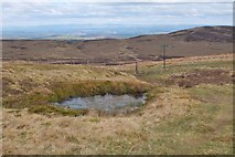
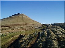
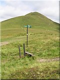
7 images in cluster Track in NT1760

Image clustering - assigning images labels - is an automated process, based on the image title/description. It's not totally accurate, and can sometimes assign images to odd clusters

in NT1760, near Silverburn/NT2060


NT1760 : Churned up track below West Kip by Jim Barton
Churned up track below West Kip
When: 7 November, 2018
By: Jim Barton
NT1760 : Track below Cap Law (or Gap Law) by Alan O'Dowd
Track below Cap Law (or Gap Law)
When: 10 July, 2016
By: Alan O'Dowd
NT1760 : Quadbike tracks, Cap Law by Richard Webb
Quadbike tracks, Cap Law
When: 6 December, 2015
By: Richard Webb
NT1760 : Track to Eastside by Graeme Yuill
Track to Eastside
When: 24 May, 2015
By: Graeme Yuill
NT1760 : Pond by the path, Cap Law by Jim Barton
Pond by the path, Cap Law
When: 1 May, 2015
By: Jim Barton
NT1760 : Track between Balerno and Nine Mile Burn by Eileen Henderson
Track between Balerno and Nine Mile Burn
When: 3 February, 2007
By: Eileen Henderson
NT1760 : West Kip by Chris Eilbeck
West Kip
When: 31 July, 2005
By: Chris Eilbeck

Explore these images in the Browser or Explore matching images including in surrounding squares (if any!)


Other Automatic clusters in NT1760

  1. East Kip
  2. Scald Law
  3. Slopes of West Kip
  4. Path
  5. Pentland Hills
  6. Looking
  7. Track
  8. Valley
  9. View East from West Kip
  10. Cap Law Plantation
  11. Red Road
  12. Logan Burn
  13. Walkers
  14. South Black Hill
  15. Logs
  16. Small
  17. Near the Summit
  18. Timber
  19. North
  20. Valley of the Eastside Burn
  21. Descent
  22. Peak of West Kip
  23. Seen from the Path
  24. Drop
You are not logged in login | register