Showing most recent first, in descending order
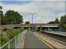
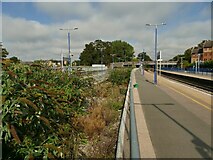
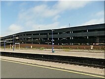
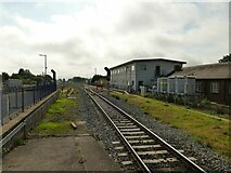
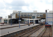
9 images in cluster Track in SP4640
Image clustering - assigning images labels - is an automated process, based on the image title/description. It's not totally accurate, and can sometimes assign images to odd clusters
in SP4640, near Banbury/SP4540
Explore these images in the Browser or Explore matching images including in surrounding squares (if any!)
Other Automatic clusters in SP4640
- Oxford Canal
- St Leonard
- North from Banbury
- Oxford Canal at Banbury
- South
- Bridge Street
- Looking
- Tramway Road
- Middleton Road
- Banbury Station Looking
- Station of the Cross
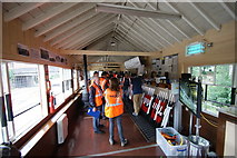
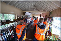
- Signal Box
- Car Park
- Chiltern Railways
- Approach
- River Cherwell
- Near
- Alma Road
- Part of Banbury
- Town
- Entrance
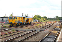
- Track
- Riverside Industrial Estate
- Window
- Access to Banbury
- Merton Street
- Line from Woodford
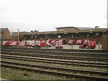
- Banbury Plant Hire Community Stadium
- Bay Platform
- Point
- Inside St Leonard
- Samuelson
- Chimney
- Diesel Unit
- Thorpe Way
- New Builds
- Terraced Housing
- Church
- View Northward
- Royal Mail Depot
- Elephant Castle
- Heading North
- Rough Ground by the Railway
- Haslemere Way
- London Marylebone
- Passenger Trains
- Coffee Shop and Toilets
- Verney Junction
- Ordnance Survey Cut Mark Benchmark Described
- Signalbox Diagram
- Business Premises
- Castle Cars
- Relief Express
- Chiltern Railways Class 168
- Elizabeth II Postbox