Showing most recent first, in descending order
4 images in cluster Trees in SD6118
Image clustering - assigning images labels - is an automated process, based on the image title/description. It's not totally accurate, and can sometimes assign images to odd clusters
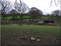
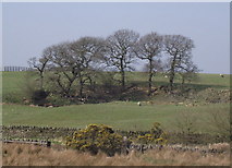
in SD6118, near White Coppice, by philandju
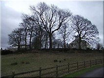
When: 25 January, 2012
When: 25 January, 2012
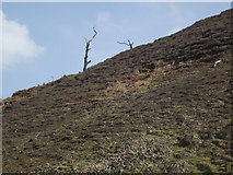
When: 28 March, 2011
When: 28 March, 2011
Explore these images in the Browser or Explore matching images including in surrounding squares (if any!)
All images  © philandju and licensed for reuse under this Creative Commons Licence
Other Automatic clusters in SD6118
- Near White Coppice
- Stronstrey Bank
- Northern end of Anglezarke Reservoir
- Trees
- Field
- Goit
- White Coppice Farm
- Moor Road
- Footpath
- Mining and Quarrying
- Hollin Lane
- Northern Tip of Anglezarke Reservoir
- Parish
- Rocky Outcrop
- Smithells Farm
- Cliff
- Anglezarke Reservoir Embankment