Showing most recent first, in descending order
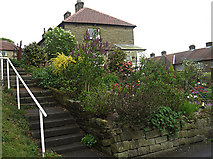
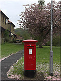
2 images in cluster Upper Brig Road in SE0419
Image clustering - assigning images labels - is an automated process, based on the image title/description. It's not totally accurate, and can sometimes assign images to odd clusters
in SE0419, near Barkisland, taken Wednesday, 6 May, 2009, by michael ely
Explore these images in the Browser or Explore matching images including in surrounding squares (if any!)
All images  © michael ely and licensed for reuse under this Creative Commons Licence
Other Automatic clusters in SE0419
- Elland Road
- St Bartholomew's Church
- Old Bridge
- Ripponden New Bank
- Halifax Road
- Old Bank
- Old Road
- Viewed
- Priest Lane
- River Ryburn
- Houses
- Milestone
- B6113
- Fiddle Lane
- Ripponden New Bank B6113
- Yorkshire
- Cob Clough
- Brig Royd Surgery
- Mill Fold
- Water
- Vicarage
- Stainland Road
- Packhorse Bridge
- Graveyard
- Ripponden Library
- Doorway
- Permissive Riverside
- Plaque
- Upper Brig Road
- Track
- Stained Glass
- Fleece Countryside
- Ordnance Survey Flush Bracket