Showing most recent first, in descending order
6 images in cluster Victoria Lock in J1021
Image clustering - assigning images labels - is an automated process, based on the image title/description. It's not totally accurate, and can sometimes assign images to odd clusters
in J1021, near Cornamucklagh/J1118, by Eric Jones
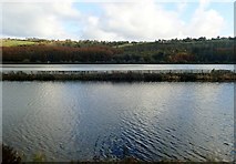
When: 29 October, 2019
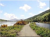
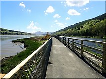
When: 12 May, 2018
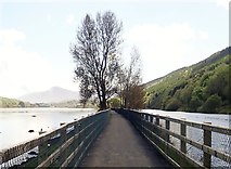
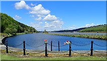
When: 12 May, 2018
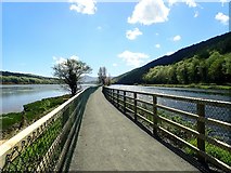
When: 12 May, 2018
When: 12 May, 2018
When: 12 May, 2018
Explore these images in the Browser or Explore matching images including in surrounding squares (if any!)
All images  © Eric Jones and licensed for reuse under this Creative Commons Licence
Other Automatic clusters in J1021
- Middlebank
- Fathom Line
- Victoria Lock
- Narrow Water
- Fathom Forest
- Section of the Newry Greenway
- Reflected in the Waters of the Newry
- Newry River Estuary
- A2 Warrenpoint Road
- Middle Bank
- North
- Embankment Separating
- Houses
- Fishing
- Settlement on the A2
- Walking and Cycling
- Woodland