Showing most recent first, in descending order
20 images in cluster Wallasea Island in TQ9594 Image clustering - assigning images labels - is an automated process, based on the image title/description. It's not totally accurate, and can sometimes assign images to odd clusters
in TQ9594 , near Burnham-On-Crouch
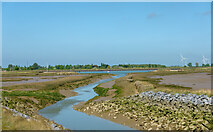
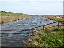
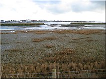
Channel through the mudflats - RSPB Wallasea Island When: 8 May, 2022 By: Roger Jones
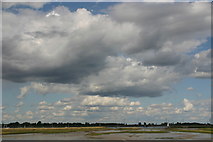
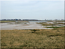
Sky and shorelines, Wallasea Island When: 25 August, 2018 By: David Kemp
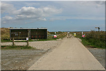
RSPB car park, Wallasea Island When: 17 August, 2018 By: David Kemp
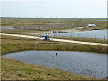
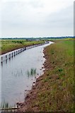
Borrow dyke pump, Wallasea Island When: 6 April, 2018
By: Robin Webster
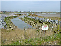
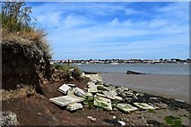
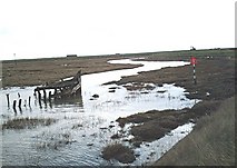
Sea wall breach at Grassland Point, Wallasea Island When: 6 April, 2018
By: Robin Webster
New sea wall by RSPB car park, Wallasea Island When: 6 April, 2018
By: Robin Webster
View from new sea wall to old sea wall, Wallasea Island When: 6 April, 2018
By: Robin Webster
Sluice outfall, Wallasea Island When: 6 April, 2018
By: Robin Webster
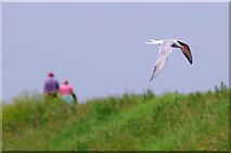
Common Tern Over Wallasea Island When: 29 May, 2017 By: Glyn Baker
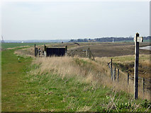
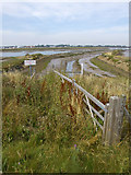
New Dike on Wallasea Island When: 29 May, 2017
By: Glyn Baker
"New" Sea Wall Wallasea Island When: 4 June, 2016 By: Glyn Baker
Maturing Saltmarsh, Wallasea Wild Coast Project When: 4 June, 2016
By: Glyn Baker
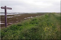
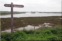
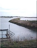
Overland Point, Wallasea Island When: 18 June, 2015 By: John Myers
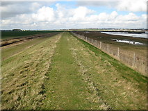
Wallasea Island: Sea defence embankment When: 5 March, 2009 By: Nigel Cox
Wallasea Island:
Overland Point When: 5 March, 2009
By: Nigel Cox
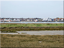
"New" wetland, Wallasea Island - High tide When: 3 January, 2007 By: John Myers
Wallasea Island saltmarsh When: 12 April, 2006 By: John Myers
Explore these images in the Browser or Explore matching images including in surrounding squares (if any!)
Other Automatic clusters in TQ9594
Wallasea Island Grassland Point Sluice Dyke Channel Breach in the Old Sea Wall Overland Point RSPB Car Park Borrow Dyke New Wetland West of the RSPB Car Park Sea Defence Tide Gauge Allfleets Marsh Ditch Borrowdyke Wild Coast Project