Showing most recent first, in descending order
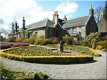
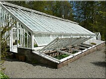
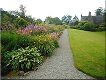
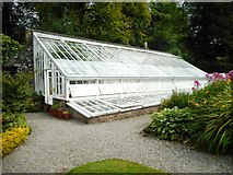
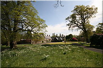
17 images in cluster Walled Garden in NS3478
Image clustering - assigning images labels - is an automated process, based on the image title/description. It's not totally accurate, and can sometimes assign images to odd clusters
in NS3478, near Cardross/NS3477
Explore these images in the Browser or Explore matching images including in surrounding squares (if any!)
Other Automatic clusters in NS3478
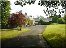
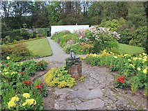
- Walled Garden
- St Mahew's Chapel
- Darleith Road
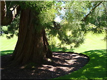
- Tree
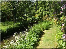
- Burn Flows
- House Dates
- Field
- Farm Track
- East Lodge
- Barrs Road
- Core Path
- Burial Ground
- Greenhouse
- Potting Shed
- Track was Part of the Core Path
- Remains of the West Lodge
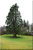
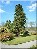
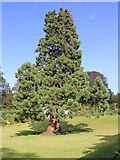
- Wellingtonia Sequoiadendron Giganteum
- Rear
- Woodland Walks
- Kirkton House
- Gunnera
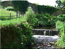
- Weir
- National Trust for Scotland Property
- Clachan of Kirkton
- Currently Closed
- Looking North
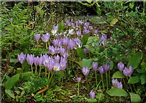
- Tulips
- Upright Stone
- Bird Bath on a Stone-topped Brick Plinth
- Water from the Mill Pond
- Old Wellhead
- Bench Mark
- Cardross Golf