Showing most recent first, in descending order
4 images in cluster Way in TQ2813
Image clustering - assigning images labels - is an automated process, based on the image title/description. It's not totally accurate, and can sometimes assign images to odd clusters
Explore these images in the Browser or Explore matching images including in surrounding squares (if any!)
Other Automatic clusters in TQ2813
- Hill Top
- Wellcombe
- South Downs
- Trig Point
- West
- East
- Looking South
- Disused Pit
- Old Chalk Pit
- Footpath
- Slopes of Wolstonbury Hill
- View West from Wolstonbury Hill
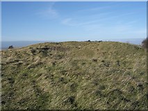
- Earthworks
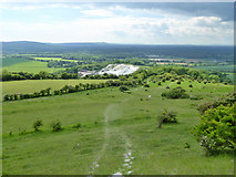
- Way
- Chalk Quarry
- Bridleway in Wellcombe
- Bridleway down to Pyecombe Street
- Track
- Iron Age Fort
- Ditch and Bank
- Cattle
- Wolstonbury Hill Triangulation Pillar
- South-east
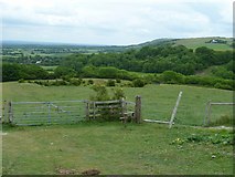
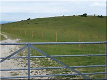
- Gate
- Enclosure
- Chalk Quarry on the North Western