Showing most recent first, in descending order
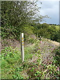
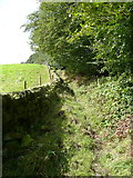
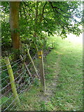
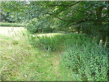
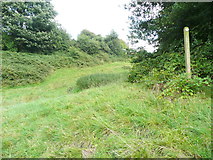
6 images in cluster Waymark Post in SE0026
Image clustering - assigning images labels - is an automated process, based on the image title/description. It's not totally accurate, and can sometimes assign images to odd clusters
in SE0026, near Hebden Bridge, by Humphrey Bolton
Explore these images in the Browser or Explore matching images including in surrounding squares (if any!)
All images  © Humphrey Bolton and licensed for reuse under this Creative Commons Licence
Other Automatic clusters in SE0026
- Landcover: Improved grassland
- Landcover: Broadleaf woodland
- Landcover: Suburban
- Hebden Royd Footpath
- Rochdale Canal
- Hebden Bridge
- Broad
- Broadbottom Lock
- Burnley Road
- Burlees
- Roger Gate
- Near
- Hebden Royd FP17
- River Calder
- Walkley's Clogs
- Stephenson House
- Clog Works
- Hawksclough
- East
- Calder Brook
- Part of Hebden Royd
- Hebden Royd FP44
- Sign
- Tree
- Tunnel
- Walkleys Canalside Mill
- Falling Royd
- Hebden Royd Footpath 18
- Great Stubb
- Approaching
- Souter House Branch
- Hebden Royd Footpath 47
- Waymark Post
- Looks Like
- Route 66
- Crow Nest Road
- Saw Mill
- Cart Track
- Building at Carr Farm
- Redacre Wood
- Raw Lane
- Little Stubb
- Playing Field
- Stream Flow
- Gap in the Wall
- Path Junction
- Parapet has been Damaged
- Stile Shown
- Old Gateway
- Runs Alongside
- Agricultural Building
- New Owner
- Milestone Society National ID
- Railway Line
- Ordnance Survey Cut Mark Benchmark Described
