Showing most recent first, in descending order
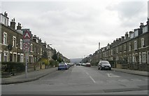
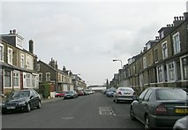
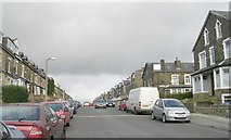
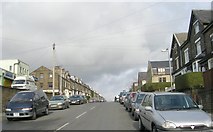
12 images in cluster Westfield Road in SE1434
Image clustering - assigning images labels - is an automated process, based on the image title/description. It's not totally accurate, and can sometimes assign images to odd clusters
in SE1434, near Bradford/SE1632
When: 17 July, 2017
By: Roger Templeman
Explore these images in the Browser or Explore matching images including in surrounding squares (if any!)
Other Automatic clusters in SE1434
- Lilycroft Road
- Heaton Road
- Oak Lane
- Toller Lane
- Lister Mills
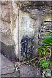
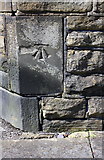
- Ordnance Survey Cut Mark Benchmark Described
- Viewed
- Face
- Whetley Lane
- Farfield
- Looking
- Whitby
- Victor Road
- Beamsley Road
- Durham
- Scotchman Road
- Kensington Street
- Girlington Road
- Wall Fronting
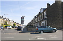
- Westfield Road
- Whetley Hill
- Stone Wall
- Duckworth Lane
- Fairbank Road
- Hand Corner
- Electricity Substation
- Thorn Street
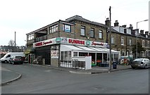
- Shop
- Patent Street
- Ashwell Road
- Carlisle Road
- Entrance
- Warehouse
- Face of the Building
- White's Terrace
- Bavaria Place
- Lilycroft Walk
- Primary School
- Upper Woodlands Terrace
- Nearest House
- St Luke's Church
- Selborne Terrace
- Silk Warehouse
- Duckworth Lane Junction
- Toller Lane B6144
- Chassum Grove
- General Stores
- Lilycroft Primary School
- Room and the Alternators at the Ends
- Bench Mark on St Luke's Church
- Chad's Church
- Magnificent Chimney
- Scotchman Lane
- City Centre
- Farcliffe Terrace
- Finally Closed
- Victor Terrace
- Lister's Pride
- Manningham Baths
- Looking towards Toller Lane