Showing most recent first, in descending order
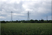
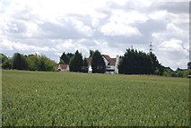
2 images in cluster Wheat Field in TQ5684
Image clustering - assigning images labels - is an automated process, based on the image title/description. It's not totally accurate, and can sometimes assign images to odd clusters
in TQ5684, near Corbets Tey, taken Saturday, 18 June, 2011, by N Chadwick
Explore these images in the Browser or Explore matching images including in surrounding squares (if any!)
All images  © N Chadwick and licensed for reuse under this Creative Commons Licence
Other Automatic clusters in TQ5684
- Corbets Tey
- Stubbers Lane
- Sunnings Lane
- Ockendon Rd
- South of Harwood Hall
- School
- Pylons
- Ordnance Map Shows the Footpath Going Diagonally
- Ockendon Road
- Great Sunning
- Wheat Field