Showing most recent first, in descending order
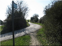
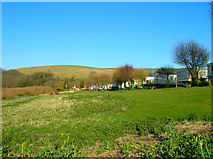
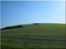
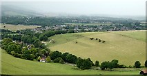
9 images in cluster Windmill Hill in TQ2010
Image clustering - assigning images labels - is an automated process, based on the image title/description. It's not totally accurate, and can sometimes assign images to odd clusters
in TQ2010, near Castle Town

Explore these images in the Browser or Explore matching images including in surrounding squares (if any!)
Other Automatic clusters in TQ2010
- Windmill Hill
- Upper Beeding
- Restricted Byway
- A2037
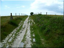
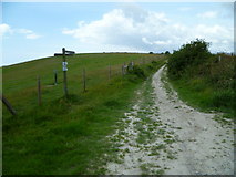
- Bridleway
- Castle Town
- Golding Barn Industrial Estate and Quarry
- A2037 Henfield Road
- South Downs
- Barn Near
- Bostal
- Station
- Taken from the Footpath
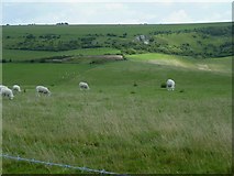
- Grazing
- Waste
- Restaurant