Showing most recent first, in descending order
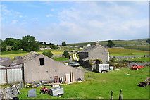
8 images in cluster Winskill Farm in SD8266
Image clustering - assigning images labels - is an automated process, based on the image title/description. It's not totally accurate, and can sometimes assign images to odd clusters
in SD8266, near Langcliffe/SD8265

Explore these images in the Browser or Explore matching images including in surrounding squares (if any!)
Other Automatic clusters in SD8266
- Hoffmann Kiln
- Langcliffe Quarry
- Craven Lime Works
- Lower Winskill
- Hoffman Kiln
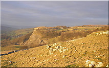
- Stainforth Scar
- Near
- Triple Draw Kiln
- Upper Winskill
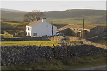
- Winskill Farm
- B6479
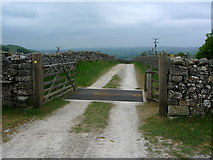
- Road
- Inside
- Buildings
- North
- Settle Carlisle Railway
- Inclined Plane
- Weigh House
- Fired Limestone in a Continuous Process
- Ribble Way
- Pastures
- Enterprise
- South of Stainforth
- Tramway Tunnel
- Spencer
- Stone Dikes Barn
- Southern end of Stainforth Scar
- Public Footpath
- Pennine Bridleway
- Path
- Note that the Entrance has been Cut
- Youth Hostel