|
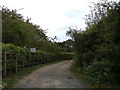
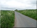
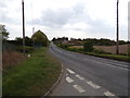
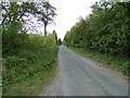
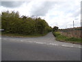
Quay Lane Bridleway to Reydon Quay
by Geographer
geograph for square TM4876
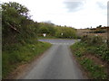
Near Quay House
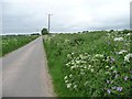
Reydon Bridleway No.20
|
|
Quay Lane, Reydon
by Geographer
geograph for square TM4876
Near Quay House
Road No.U1624
|
|
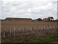
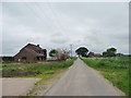
Old Hall Farm, Reydon
by Geographer
for square TM4877
Taken from Quay Lane near Quay House
|
|
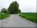
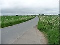
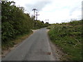
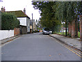
Quay Lane, Reydon
by Geographer
geograph for square TM4876
Approaching Quay House
Road No.U1624
|
|
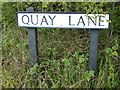
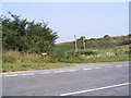
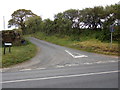
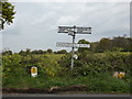
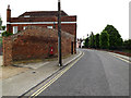
Quay Lane sign
by Geographer
for square TM4877
On Quay Lane at the junction with the A1095 Halesworth Road
Road No.U1624
|
|
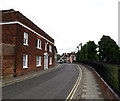
Quay Lane sign
by Geographer
for square TL8741
On Quay Lane at the junction with Friars Street
|
![SE7618 : Quay Lane [2] by Christine Johnstone](https://s1.geograph.org.uk/geophotos/03/50/16/3501625_1131d48d_120x120.jpg)
|
Quay Lane [2]
by Christine Johnstone
geograph for square SE7618
Looking north towards the distant Bankside Farm.
|
|
Quay Lane, north of Bankside Farm
by Christine Johnstone
geograph for square SE7619
At the 3 metre spot height.
|
|
The bend on Quay Lane
by Christine Johnstone
geograph for square SE7620
Looking north, from the point where the lane meets the warping drain.
|
|
Quay Lane, Swinefleet
by Christine Johnstone
geograph for square SE7621
Running south from the A161, below the east bank of Swinefleet Warping Drain.
|
![SE7618 : Quay Lane [1] by Christine Johnstone](https://s3.geograph.org.uk/geophotos/03/50/15/3501599_e02ce758_120x120.jpg)
|
Quay Lane [1]
by Christine Johnstone
geograph for square SE7618
Looking south towards the distant Yokefleet Farm.
|
|
New house on the east side of Quay Lane
by Christine Johnstone
geograph for square SE7619
Not on the 2006 map. Bankside Farm is in the distance.
|
|
Quay Lane
by Christine Johnstone
geograph for square SE7620
Looking south-east, towards the 3 metre spot height.
|
|
Quay Lane, Reydon
by Geographer
geograph for square TM4877
At the junction with the A1095 Halesworth Road
Road No.U1624
|
|
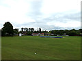
Playing Field off the B1115 Friars Street
by Geographer
geograph for square TL8740
At the junction with Quay Street
|
|
Quay Lane, Reydon
by Geographer
geograph for square TM4877
At the junction with the A1095 Halesworth Road
Road No.U1624
|
|
Quay Lane, Reydon
by Geographer
geograph for square TM4877
Road No.U1624
|
|
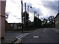
Halesworth Road sign
by Geographer
geograph for square TM4877
On the A1095 Halesworth Road at the junction with Quay Lane
|
|
A1095 Halesworth Road, Reydon
by Geographer
geograph for square TM4877
At the junction with Quay Lane
|
|
Pumping Station off Quay Lane
by Geographer
geograph for square TM4877
At the junction with the A1095 Halesworth Road
|
|
Quay Lane, Reydon
by Geographer
geograph for square TM4877
At the junction with the A1095 Halesworth Road
Road No.U1624
|
|
A1095 Halesworth Road, Reydon
by Geographer
geograph for square TM4877
At the junction with Quay Lane
|
|
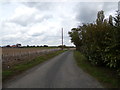
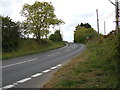
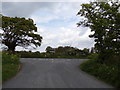
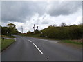
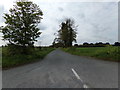
Quay Lane, Reydon
by Geographer
geograph for square TM4878
At the junction with the B1126 Wangford Road
Road No.U1624
|

|
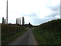
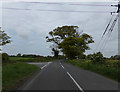
Quay Lane, Reydon
by Geographer
geograph for square TM4877
Near the Solar Farm
Road No.U1621
|
|
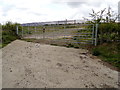
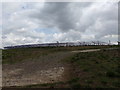
Entrance to the Solar Farm
by Geographer
geograph for square TM4877
Off Quay Lane
|
|
Quay Lane, Reydon
by Geographer
geograph for square TM4877
Near the Solar Farm
Road No.U1624
|
|
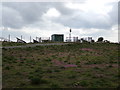
Electricity Sub-Station at the Solar Farm
by Geographer
geograph for square TM4877
Off Quay Lane
|
|
Quay Lane, Reydon
by Geographer
geograph for square TM4877
At the junction with the A1095 Halesworth Road
Road No.U1624
|
|
Solar Farm off Quay Lane
by Geographer
geograph for square TM4877
|
|
A1095 Halesworth Road, Reydon
by Geographer
geograph for square TM4877
At the junction with Quay Lane
|
|
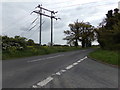
B1126 Wangford Road, Reydon
by Geographer
geograph for square TM4878
At the junction with Quay lane
|
|
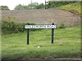
Signpost on the B1126 Wangford Road
by Geographer
geograph for square TM4878
At the junction with Quay Lane
|
|
Quay Lane, Reydon
by Geographer
geograph for square TM4878
At the junction with The B1126 Wangford Road
Road No.U1624
|
|
B1126 Wangford Road, Reydon
by Geographer
geograph for square TM4878
At the junction with Quay Lane
|
|
B1115 Friars Street & Friars Street Victorian Postbox
by Geographer
geograph for square TL8741
Looking towards Quay Lane
Postbox No.CO10 1002
|
|
B1115 Friars Street, Sudbury
by Geographer
geograph for square TL8741
Looking towards Quay Lane
|
|
B1115 Friars Street & Friars Street Victorian Postbox
by Geographer
geograph for square TL8741
Looking towards Quay Lane
Postbox No.CO10 1002
|
|
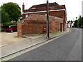
Quay Lane, Sudbury
by Geographer
geograph for square TL8741
At the junction with Friars Street
|
|
B1115 Friars Street, Sudbury
by Geographer
geograph for square TL8741
At the junction with Quay Lane
|