Public Tags
Tag: Anglo-Saxon·Earthwork
Showing images tagged with Anglo-Saxon Earthwork tag.
|
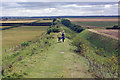
Devil's Dyke
by Stephen McKay geograph for square TL5864 Two walkers head along the highest part of this Anglo-Saxon earthwork.
|
|
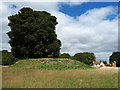
Asthall Barrow
by Vieve Forward geograph for square SP2810 Asthall Barrow contained a high-status Anglo-Saxon burial excavated by George... (more)
|
|
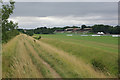
Devil's Dyke
by Stephen McKay geograph for square TL6062 The Devil's Dyke crosses Newmarket race course, seen here with the July... (more)
|
|
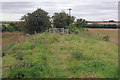
Devil's Dyke
by Stephen McKay geograph for square TL5963 The dyke is lower here than further along towards Burwell; walkers encounter the... (more)
|
|
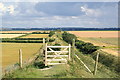
Footpath gate, Devil's Dyke
by Rob Noble geograph for square TL5864 Looking along the top of the dyke towards the south-east.
|
|
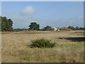
Sutton Hoo ship burial site
by Chris Allen geograph for square TM2848 A famous Anglo-Saxon graveyard where two ships were buried. The large mound in... (more)
Tags:
period:Anglo-SaxonX
Anglo-Saxon Earthwork
top:Historic Sites and ArtefactsX
subject:HistoricalX
Sutton HooX
TumuliX
|
|
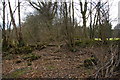
Offa's Dyke south of Caeaugwynion
by Christopher Hilton geograph for square SJ2739 |
|
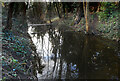
Water in the Moat
by Des Blenkinsopp geograph for square SU6089 Marked rather inaccurately as "drain" on the map, this is part of... (more)
|
|
Stormy Light on the Kinecroft
by Des Blenkinsopp geograph for square SU6089 The Kinecroft is an ancient open space inside Wallingford's Saxon town... (more)
|
