|
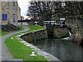
Huddersfield Canals, Lock 1
by David Dixon
geograph for square SE1416
The sign says "Welcome to the Huddersfield Narrow Canal. Lock 1E,... (more)
|
|
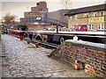
Huddersfield Broad Canal, Aspley Wharf
by David Dixon
geograph for square SE1516
For over 150 years, Aspley Basin was one of the busiest places in Huddersfield.... (more)
|
|
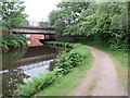
Huddersfield Broad Canal, Huddersfield
by Malc McDonald
geograph for square SE1417
A double-bend on the Huddersfield Broad Canal, taking it beneath a major road... (more)
|
|
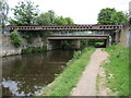
Huddersfield Broad Canal, Huddersfield
by Malc McDonald
geograph for square SE1417
The Huddersfield Broad Canal and towpath near Huddersfield town centre. The... (more)
|
|
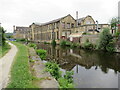
Huddersfield Broad Canal, Huddersfield
by Malc McDonald
geograph for square SE1417
The Huddersfield Broad Canal close to the centre of Huddersfield.
|
|
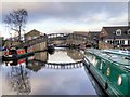
Huddersfield Broad Canal, Aspley Basin
by David Dixon
geograph for square SE1416
For over 150 years, Aspley Basin was one of the busiest places in Huddersfield.... (more)
|
|
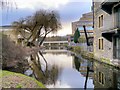
Huddersfield Broad Canal, South of Wakefield Road
by David Dixon
geograph for square SE1416
The section of the Huddersfield Broad Canal between Wakefield Road Bridge and... (more)
|
|
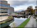
Huddersfield Broad Canal
by David Dixon
geograph for square SE1416
The section of the Huddersfield Broad Canal between Wakefield Road Bridge and... (more)
|
|
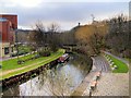
Huddersfield Broad Canal, University Campus
by David Dixon
geograph for square SE1416
The section of the Huddersfield Broad Canal between Wakefield Road Bridge and... (more)
|
|
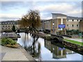
Huddersfield Broad Canal from Poly Bridge
by David Dixon
geograph for square SE1416
A view looking north from the footbridge outside the University's Central... (more)
|
|
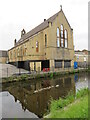
Geese on the canal, Huddersfield
by Malc McDonald
geograph for square SE1417
A pair of Canada geese with six goslings swimming along the Huddersfield Broad... (more)
|
|
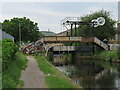
Quay Street Bridge, Huddersfield
by Malc McDonald
geograph for square SE1416
Quay Street Bridge crossing the Huddersfield Broad Canal close to Huddersfield... (more)
|
|
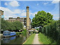
Aspley Basin and Turnbridge Mills, Huddersfield
by Malc McDonald
geograph for square SE1416
The towpath alongside Aspley Basin, on the Huddersfield Broad Canal.
In the... (more)
|
|
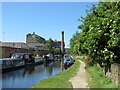
Canal path, Huddersfield
by Malc McDonald
geograph for square SE1516
A towpath alongside the Huddersfield Broad Canal.
|
|
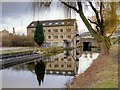
John Ramsden Court, Huddersfield Broad Canal
by David Dixon
geograph for square SE1416
This Warehouse is thought to be one of the oldest surviving warehouses of its... (more)
|
|
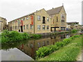
Canalside buildings, Huddersfield
by Malc McDonald
geograph for square SE1416
A low-rise office block for small businesses and a church on the bank of the... (more)
|
|
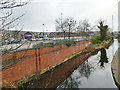
Huddersfield Broad Canal from Leeds Road Bridge
by Stephen Craven
geograph for square SE1417
Looking north (downstream). A large modern retail park is to the left.
|
|
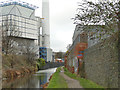
Retaining walls alongside the Huddersfield Broad Canal
by Stephen Craven
geograph for square SE1417
The brick wall looks to be an old one, which over the years has had to be... (more)
|
|
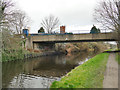
Bridge 11a, Huddersfield Broad Canal
by Stephen Craven
geograph for square SE1417
|
|
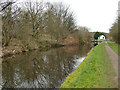
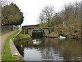
View eastwards towards lock 9, Huddersfield Broad Canal
by Stephen Craven
geograph for square SE1518
The lock is listed grade II (list entry 1290603), where it is dated 1774-80.
|
|
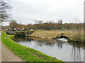
Bridge 11 and lock 9, Huddersfield Broad Canal
by Stephen Craven
geograph for square SE1518
Most of the locks on this canal have an accompanying foot- or road bridge, but... (more)
|
|
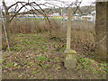
Lock 8, Huddersfield Broad Canal
by Stephen Craven
geograph for square SE1518
The overflow or bywash channel to this lock outfalls some way below the lock... (more)
|
|
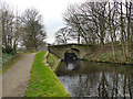
Two miles to Huddersfield
by Stephen Craven
geograph for square SE1518
Although the canal's locks are numbered from the downstream (eastern) end,... (more)
|
|
Fieldhouse Lane bridge, Huddersfield Broad Canal
by Stephen Craven
geograph for square SE1518
Bridge number 10, immediately downstream of Fieldhouse Lock.
|
|
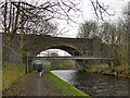
Footbridge and old railway viaduct, Huddersfield Broad Canal
by Stephen Craven
geograph for square SE1619
The viaduct carried the Kirkburton branch, opened in 1867, closed to passengers... (more)
|
|
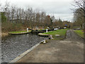
Lock no. 4, Huddersfield Broad Canal
by Stephen Craven
geograph for square SE1619
Lock 4 (shown as Vernon Lock on older maps) is listed grade II (list entry... (more)
|
|
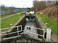
Lock No. 6, Huddersfield Broad Canal
by Stephen Craven
for square SE1618
Lock 6, also known as Riddings Lock, is listed grade II (list entry 1134349),... (more)
|
|
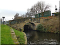
Riddings Bridge & Lock 6, Huddersfield Broad Canal
by Stephen Craven
geograph for square SE1618
Most of the locks on this canal have an accompanying foot- or road bridge, but... (more)
|
|
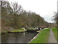
Lock no. 5, Huddersfield Broad Canal
by Stephen Craven
geograph for square SE1618
The lock is listed grade II (list entry 1134348) where it is named Hall Wood... (more)
|
|
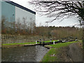
Huddersfield Broad Canal - Johnson's Lock
by Stephen Craven
geograph for square SE1719
Lock no. 3 (shown as Johnson's Lock on older maps). The lock is listed... (more)
|
|
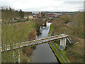
Aqueduct over the canal near Bradley
by Stephen Craven
geograph for square SE1719
|
|
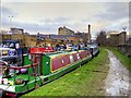
Aspley Wharf, Huddersfield Broad Canal
by David Dixon
geograph for square SE1516
|
|
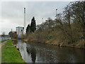
Huddersfield incinerator from the canal
by Stephen Craven
geograph for square SE1417
|
|
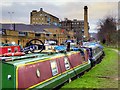
Huddersfield Broad Canal, Looking Towards Turnbridge Mill and the Locomotive Bridge
by David Dixon
geograph for square SE1416
Looking northwards along the towpath near Aspley Basin. Ahead is Turnbridge Mill... (more)
|
|
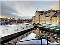
Aspley Wharf Marina Moorings
by David Dixon
geograph for square SE1516
Pontoon moorings next to the Huddersfield Central Premier Inn at Aspley Wharf.
|
|
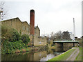
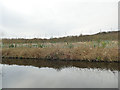
Old and new chimneys
by Stephen Craven
geograph for square SE1417
The brick chimney belonged to a 20th century factory, and the taller one in the... (more)
|
|
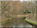
Young trees by the canal
by Stephen Craven
geograph for square SE1518
These have been planted to create a belt of trees between the canal and the... (more)
|
|
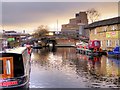
Cyclist on the canal towpath below Riddings Bridge
by Stephen Craven
geograph for square SE1618
|
|
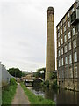
Aspley Basin, Huddersfield Broad Canal
by David Dixon
geograph for square SE1516
For over 150 years, Aspley Basin was one of the busiest places in Huddersfield.... (more)
|
|
Huddersfield Broad Canal, Huddersfield
by Malc McDonald
geograph for square SE1416
A view of the Huddersfield Broad Canal near the centre of Huddersfield. To the... (more)
|
|
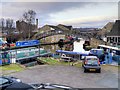
Aspley Wharf Marina, Huddersfield Broad Canal
by David Dixon
geograph for square SE1416
For over 150 years, Aspley Basin was one of the busiest places in Huddersfield.... (more)
|
|
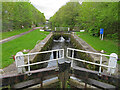
Huddersfield Broad Canal - lock No. 4
by Chris Allen
geograph for square SE1619
Longlands Lock. Built 1774-1780 and Listed Grade II.
|
|
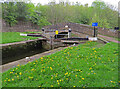
Huddersfield Broad Canal - lock No. 3 and bridge No. 5
by Chris Allen
geograph for square SE1719
This is named on a sign as Ladgrave Lock but the official Grade II Listing calls... (more)
|
|
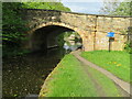
Huddersfield Broad Canal - bridge No. 3
by Chris Allen
geograph for square SE1720
This is dated 1775 and carries Colne Bridge Road over the canal. It is Listed Grade II.
|
|
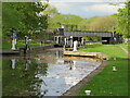
Huddersfield Broad Canal - lock No. 2
by Chris Allen
geograph for square SE1720
Also known as Sir John Ramsden's Canal and part of the Calder and Hebble... (more)
|
|
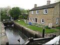
Huddersfield Broad Canal - lock No. 1
by Chris Allen
geograph for square SE1720
|
|
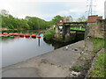
The beginning (or end) of the Huddersfield Broad (Ramsden's) Canal
by Chris Allen
geograph for square SE1720
This is where the canal joins the River Calder at Bradley. This is bridge No. 1... (more)
|
|
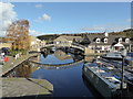
Aspley Canal Basin
by Chris Allen
geograph for square SE1416
Sir John Ramsden's broad canal leaves the basin in front of the... (more)
|
|
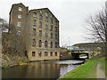
Deighton Mill and Leeds Road bridge
by Stephen Craven
geograph for square SE1619
This was a corn, rather than textile mill, and the widening of the canal... (more)
|
|
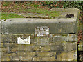
Fishing sign at lock no. 5
by Stephen Craven
for square SE1618
"Private fishing. Huddersfield Broad Canal Alliance Inc. Halifax A.C.... (more)
|
