|
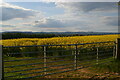
Gate into field of oil-seed rape, Woolston Bank
by Christopher Hilton
geograph for square SJ3123
|
|
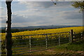
Gate into field of oil-seed rape, Woolston Bank
by Christopher Hilton
geograph for square SJ3123
|
|
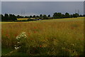
Looking south-east off Red Lane
by Christopher Hilton
geograph for square TM3961
|
|
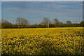
Oilseed rape, East Green
by Christopher Hilton
geograph for square TM4065
|
|
View south to Breidden Hill, Woolston Bank
by Christopher Hilton
geograph for square SJ3123
|
|
View south to Breidden Hill, Woolston Bank
by Christopher Hilton
geograph for square SJ3123
|

|
Oilseed rape and poplar trees in the valley of the Deben
by Christopher Hilton
geograph for square TM2559
|

|
View across oilseed rape field from near Lime Tree Farm
by Christopher Hilton
geograph for square TM2773
|

|
Rape field off Butcher's Road, Kelsale
by Christopher Hilton
geograph for square TM3965
On the left, the poplar trees that line the railway.
|
|
Rape field off Butcher's Road, Kelsale
by Christopher Hilton
geograph for square TM3965
|
|
Rape field and cow parsley, East Green
by Christopher Hilton
geograph for square TM4065
|

|
Oil seed rape near Bangor
by Rossographer
geograph for square J5278
Oil seed rape in a field between Bangor and Six Road Ends.
|
|
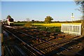
Train approaching Eastgreen crossing
by Christopher Hilton
geograph for square TM3966
The train, heading from Lowestoft towards Ipswich, was virtually empty: during... (more)
|
|
Looking towards the railway from Lowes Hill
by Helena Hilton
geograph for square TM3964
|
|
Looking towards the railway from Lowes Hill
by Christopher Hilton
geograph for square TM3964
|
|
Looking down on Kelmarsh Wind Farm and the A14
by Christopher Hilton
geograph for square SP7278
|
|
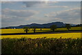
View south to Breidden Hill, Woolston Bank
by Christopher Hilton
for square SJ3123
|
|
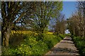
Church Road, Little Glemham
by Christopher Hilton
geograph for square TM3458
|
|
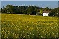
Looking down to Park Cottages
by Christopher Hilton
geograph for square TM2459
The poplar trees along the horizon mark the line of the River Deben.
|
|
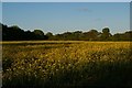
Oil-seed rape field near Dorley's Corner
by Christopher Hilton
geograph for square TM3865
|

|
Sunset and showers, north-east of Saxmundham
by Christopher Hilton
geograph for square TM3964
|
|
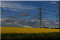
View north towards the pylon lines, Byng Lane
by Christopher Hilton
geograph for square TM2853
|
|
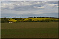
View across the Alde valley from the west
by Christopher Hilton
geograph for square TM3067
|
|
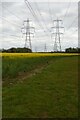
Pylon lines south of Pettistree
by Christopher Hilton
geograph for square TM2954
The twin electricity pylon lines seen here carry power from Sizewell B nuclear... (more)
|
|
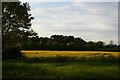
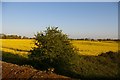
Oil-seed rape meadow north of Kelsale
by Christopher Hilton
geograph for square TM3865
|
|
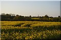
View south-east off Lowes Hill railway bridge
by Christopher Hilton
geograph for square TM3964
|
|
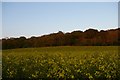
Looking north off Lowes Hill
by Christopher Hilton
geograph for square TM3965
|
|
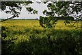
Looking uphill to Benhall Wood
by Christopher Hilton
geograph for square TM3561
|
|
Field of rape
by David Lally
for square TA1743
From the Trans Pennine Trail.
|
|
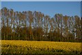
Poplars lining the railway, east of Kelsale
by Christopher Hilton
geograph for square TM3965
Taken from the footpath that climbs from Butcher's Road towards a crossing... (more)
|
|
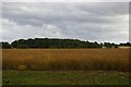
View southwards from Bannocks Lane
by Christopher Hilton
geograph for square TM3165
To the right of Bannocks Wood, Bannocks Lane can be seen climbing the far side... (more)
|
|
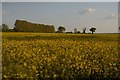
Rape field off Butcher's Road, Kelsale
by Christopher Hilton
geograph for square TM3965
|
|
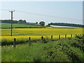
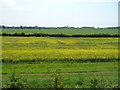
Power line across an oilseed rape field
by Christine Johnstone
geograph for square TG0603
North-west of Station Farm, Kimberley.
|
|
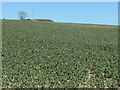
Oilseed rape, west of Station Farm, Kimberley
by Christine Johnstone
geograph for square TG0603
Beginning to set seed.
|
|
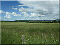
Oilseed rape, Flixton Wold
by Christine Johnstone
geograph for square TA0478
The tree and the dung heap are at the corner of an unseen field boundary.
|
|
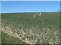
Field of oilseed rape, south of Hill Halton
by Christine Johnstone
geograph for square SO4874
No longer yellow, as the seed sets.
|
|
Tractor tracks, Flixton Wold
by Christine Johnstone
geograph for square TA0478
In a field of oilseed rape, east of the Flixton - Fordon road.
|
|
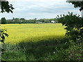
Oilseed rape, south of Scholey Hill
by Christine Johnstone
geograph for square SE3825
Turning the field chrome yellow.
|
|
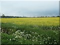
Field of oilseed rape, Zouch
by Christine Johnstone
geograph for square SK5023
Looking north from the canal towpath.
|
|
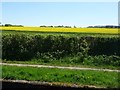
Field of oilseed rape at Catshill
by Christine Johnstone
geograph for square SK0504
On the east bank of the Wyrley & Essington Canal.
|
|
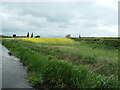
A corner of yellow, off Deep Dale Lane
by Christine Johnstone
geograph for square SK3429
Oilseed rape in flower on the north bank of the Trent & Mersey canal.
|
|
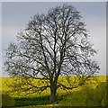
Ash tree with rape field
by David Lally
for square SK6343
A least the shape says "ash" to me.
|
|
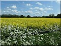
Oilseed rape field, west of Bodymoor Heath
by Christine Johnstone
geograph for square SP1995
Seen from Lock 8 on the Birmingham & Fazeley canal.
|
|
Oilseed rape coming into flower, Stred Dale
by Christine Johnstone
geograph for square TA0478
'Stred Dale' is the name given on the large-scale 1850 OS map for this... (more)
|
|
Oilseed rape growing in West Field
by Christine Johnstone
geograph for square TA1272
On the west side of Gosling Slack, rising from 59 metres above sea level.
|
|
Oilseed rape, west of Peasebrook Farm
by Christine Johnstone
geograph for square SP0737
About 65 metres above sea level.
|
|
Oilseed rape crop, west of West Leaside
by Christine Johnstone
geograph for square NZ1722
Looking south from the track with public access.
|
|
Oil seed rape field off Hummerbeck Lane
by Christine Johnstone
geograph for square NZ1723
South-west of Bolton Garths, looking towards the distant Trunnelmire Plantation.
|
|
Oil seed rape at Bolton Garths
by Christine Johnstone
geograph for square NZ1723
On the south-east side of Hummerbeck Lane.
|
|
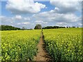
Footpath through the oilseed rape
by Ian Calderwood
geograph for square SK2542
|
