
|
Millennium National Cycle Network sign near Market Harborough
by Malc McDonald
geograph for square SP7485
This post on the Brampton Valley Way is at the county boundary between... (more)
|

|
Brampton Valley Way near Great Oxendon
by Malc McDonald
geograph for square SP7383
A bridge over the Brampton Valley Way near Great Oxendon.
|
|
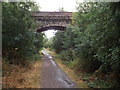
Brampton Valley Way near Great Oxendon
by Malc McDonald
geograph for square SP7484
A bridge over the Brampton Valley Way near Great Oxendon.
|
|
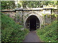
Oxendon tunnel, south portal
by Malc McDonald
geograph for square SP7383
Oxendon Tunnel is one of two tunnels on the Brampton Valley Way. Both tunnels... (more)
|
|
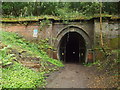
Oxendon Tunnel, north portal
by Malc McDonald
geograph for square SP7383
Oxendon Tunnel is one of two tunnels on the Brampton Valley Way. Both tunnels... (more)
|

|
Private track near Market Harborough
by Malc McDonald
geograph for square SP7586
A private track leading away from Harborough Road, near Market Harborough.... (more)
|
|
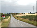
Harborough Road, near Braybrooke
by Malc McDonald
geograph for square SP7585
Harborough Road near Braybrooke, looking towards Market Harborough.
|
|
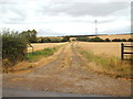
Farm track near Market Harborough
by Malc McDonald
geograph for square SP7585
A track leading into a field near Market Harborough.
|

|
Braybrooke Road, near Market Harborough
by Malc McDonald
geograph for square SP7586
Braybrooke Road approaching the Leicestershire town of Market Harborough.
|

|
Harborough Road, near Braybrooke
by Malc McDonald
geograph for square SP7685
Harborough Road in Northamptonshire countryside, approaching the boundary with... (more)
|

|
Harborough Road, near Braybrooke
by Malc McDonald
geograph for square SP7685
Harborough Road, approaching the village of Braybrooke. The spire of All... (more)
|

|
The path of the Welland
by Bob Harvey
geograph for square SP7588
|

|
Dry, downstream
by Bob Harvey
geograph for square SP7588
|

|
Dry channel for the Welland
by Bob Harvey
for square SP7488
There is a low shrub, distant centre, which marks the edge of this channel, to... (more)
|

|
Upstream from the bridge
by Bob Harvey
geograph for square SP7588
There is not much Welland River to see here, a trickle amid overhanging plants.... (more)
|

|
The River Welland
by Bob Harvey
geograph for square SP7588
|

|
Temporary traffic lights on Harborough Road, Braybrooke
by Malc McDonald
geograph for square SP7684
Temporary traffic lights controlling the flow of traffic past roadworks in the... (more)
|

|
Farm track near Braybrooke
by Malc McDonald
geograph for square SP7685
A farm track near Braybrooke in Northamptonshire.
|

|
Ritches Lodge Farm near Braybrooke
by Malc McDonald
geograph for square SP7783
Farm sheds at Ritches Lodge Farm, near Braybrooke in Northamptonshire.
|

|
Crossroads near Braybrooke, Northamptonshire
by Malc McDonald
geograph for square SP7784
A crossroads in countryside near Braybrooke, in Northamptonshire.
|

|
Brickwork
by Bob Harvey
for square SP7588
|

|
A second bridge
by Bob Harvey
for square SP7488
|

|
A bridge on Dingley Road
by Bob Harvey
geograph for square SP7588
The charmless galvanised tubes form the parapet of a bridge over the River... (more)
|
|
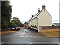
Newton Way, Braybrooke
by Malc McDonald
geograph for square SP7684
Newton Way in the village of Braybrooke in Northamptonshire.
|
|
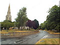
Braybrooke, Northamptonshire
by Malc McDonald
geograph for square SP7684
The village of Braybrooke in north Northamptonshire.
The church of All Saints... (more)
|
|
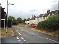
Desborough Road, Braybrooke
by Malc McDonald
geograph for square SP7684
Desborough Road passing through the village of Braybrooke, in Northamptonshire.
|
