
|
Romford Road, Passingford Bridge
by Malc McDonald
geograph for square TQ5097
Romford Road looking south east to the bridge carrying the M25 motorway over the... (more)
|
|
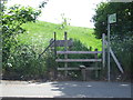
Public footpath near Romford
by Malc McDonald
geograph for square TQ4987
A stile at the entrance to a footpath near Romford.
|
|
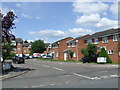
Braithwaite Avenue, near Romford
by Malc McDonald
geograph for square TQ4987
Braithwaite Avenue is a residential cul-de-sac near Romford in East... (more)
|

|
The Brewery
by Geographer
geograph for square TQ5188
Category: Shopping centre
Near the A125 Waterloo Road
|
|
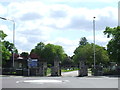
Cemetery Gates near Romford
by Malc McDonald
geograph for square TQ5087
|
|
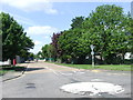
Jutsums Lane near Romford
by Malc McDonald
geograph for square TQ4987
|

|
M25 bridge over Romford Road, Passingford Bridge
by Malc McDonald
geograph for square TQ5097
A bridge carries the M25 motorway over the A113 at Passingford Bridge in Essex.
|
|
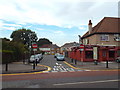
Birkbeck Road, near Romford
by Malc McDonald
geograph for square TQ5087
|
|
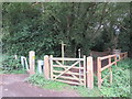
Entrance to Hainault Forest, Lambourne End
by Malc McDonald
geograph for square TQ4794
A gate leading into Hainault Forest, near the boundary of Essex and Greater London.
|

|
Hook Lane, near Lambourne End
by Malc McDonald
geograph for square TQ4895
Hook Lane is a minor road through Essex countryside.
|

|
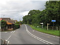
Hook Lane, near Lambourne End
by Malc McDonald
geograph for square TQ4895
Hook Lane is a minor lane through Essex countryside.
|
|
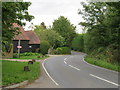
Manor Road, Lambourne End
by Malc McDonald
geograph for square TQ4794
A black and white cat crossing Manor Road in the village of Lambourne End. A... (more)
|
|
Manor Road, Lambourne End
by Malc McDonald
geograph for square TQ4894
Manor Road is a minor road passing through the village of Lambourne End in Essex.
|

|
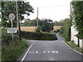
Hook Lane, near Stapleford Abbotts
by Malc McDonald
geograph for square TQ4995
Hook Lane is a minor road through Essex countryside.
|
|
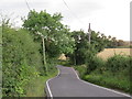
Hook Lane, Stapleford Abbotts
by Malc McDonald
geograph for square TQ4995
Hook Lane is a minor road in Essex countryside.
|
|
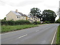
Hook Lane, Stapleford Abbotts
by Malc McDonald
geograph for square TQ4995
Hook Lane is a minor lane through Essex countryside at Stapleford Abbotts, close... (more)
|
|
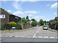
Stapleford Road, Stapleford Abbotts
by Malc McDonald
geograph for square TQ4996
Stapleford Road passing through the rural settlement of Stapleford Abbotts in Essex.
|

|
Bons Farm entrance, Stapleford Abbotts
by Malc McDonald
geograph for square TQ5096
The entrance driveway to Bons Farm at Stapleford Abbotts, in Essex. The farm is... (more)
|
|
Mulberry Close, Gidea Park
by Malc McDonald
geograph for square TQ5289
Mulberry Close is a residential cul-de-sac in Gidea Park, in London's outer suburbs.
|
|
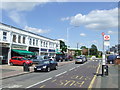
Heath Park Road, Gidea Park
by Malc McDonald
geograph for square TQ5388
Heath Park Road in Gidea Park, in East London's outer suburbs.
|
