|
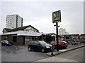
The Waggon and Horses, Blacon, Chester
by Jeff Buck
geograph for square SJ3767
|
|
Church Of Jesus Christ Of Later Day Saints, Blacon, Chester
by Jeff Buck
geograph for square SJ3867
Church Of Jesus Christ Of Later Day Saints on Clifton Drive, Blacon.... (more)
|
|
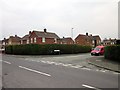
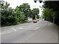
Junction of Blacon Point Road and Bridgeman Road, Blacon
by Jeff Buck
geograph for square SJ3867
|
|
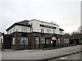
The Highfield, Blacon, Chester
by Jeff Buck
geograph for square SJ3868
The Highfield public house on Saughall Road, Blacon, Chester.
Update: The... (more)
|
|
Clifton Drive, Blacon, Chester
by Jeff Buck
geograph for square SJ3867
|
|
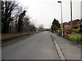
Blacon Point Road, Chester
by Jeff Buck
geograph for square SJ3867
|
|
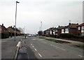
Western Avenue, Blacon, Chester
by Jeff Buck
geograph for square SJ3867
|
|
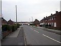
Furne Road, Blacon, Chester
by Jeff Buck
geograph for square SJ3867
Taken from the junction with Western Avenue.
Wikipedia... (more)
|
|
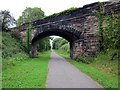
The Millennium Greenway, Blacon
by Jeff Buck
geograph for square SJ3768
|
|
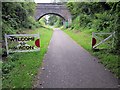
The Millennium Greenway, Blacon
by Jeff Buck
geograph for square SJ3768
|
|
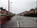
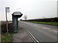
Saughall Road, Blacon
by Jeff Buck
geograph for square SJ3868
|
|
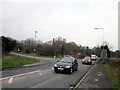
The A548 (Sealand Road) near Blacon
by Jeff Buck
geograph for square SJ3767
The A548 (Sealand Road) as it crosses the border into Flintshire.
|
|
Junction of Sealand Road and Western Avenue
by Jeff Buck
geograph for square SJ3767
Wikipedia Link
Wikipedia... ( more) |
|
Green Lane near Blacon
by Jeff Buck
geograph for square SJ3769
It was impossible to investigate the grid square any further from this end as... (more)
|
|
Ferry Lane, Higher Ferry, Chester
by Jeff Buck
geograph for square SJ3766
Ferry Lane as it heads towards the River Dee at Higher Ferry.
|
|
The Millennium Greenway, Sealand
by Jeff Buck
geograph for square SJ3668
|
|
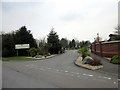
Entrance to Fir Trees Caravan Park, Chester
by Jeff Buck
geograph for square SJ3766
The entrance to Fir Trees Caravan Park off Ferry Lane near Sealand Road.... (more)
|