Public Tags
Other tags: Watersmeet
Showing images tagged with place:Watersmeet tag.
|
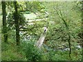
Bridge over Hoar Oak Water, Watersmeet
by Rob Farrow geograph for square SS7448 Watersmeet which lies a couple of miles to the east of Lynmouth in Devon is... (more)
|

|
Footbridge at Watersmeet
by PAUL FARMER geograph for square SS7448 Tags:
subject:Bridge
county:Devon
Devon
place:Devon
bridge:Footbridge
Footbridge
type:Geograph
top:Paths
top:Rivers, Streams, Drainage
place:Watersmeet
Watersmeet
|
|
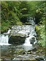
Hoar Oak Water, Watersmeet
by Rob Farrow geograph for square SS7448 Hoar Oak Water tumbles down a double waterfall as it approaches its confluence... (more)
|
|
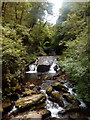
East Lyn River at Watersmeet
by PAUL FARMER geograph for square SS7448 |
|
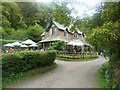
Watersmeet House
by Rob Farrow geograph for square SS7448 Watersmeet House is owned and run by the National Trust as a tea room, shop and... (more)
Tags:
Information Centre
subject:Lodge
National Trust Property
top:Rivers, Streams, Drainage
Shop
Tearoom
place:Watersmeet
top:Woodland, Forest
|
|
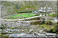
Watersmeet
by Graham Horn geograph for square SS7448 The view of the very popular cafe and information centre from the zig-zag path... (more)
Tags:
top:Business, Retail, Services
Cafe
Information Centre
National Trust
top:Rivers, Streams, Drainage
place:Watersmeet
|

|
Chiselcombe Bridge and the East Lyn River
by Jeff Buck geograph for square SS7448 Chiselcombe Bridge seen here spanning the East Lyn River in the Watermeet Valley... (more)
Tags:
Bridge
county:Devon
river:East Lyn
East Lyn River
country:England
type:Geograph
River
top:Rivers, Streams, Drainage
Site of Special Scientific Interest
SSSI
place:Watersmeet
|
