|
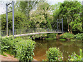
Attingham Park, Suspension Bridge over The River Tern
by David Dixon
geograph for square SJ5510
The River Tern, which flows through the centre of the estate, joins the larger... (more)
|
|
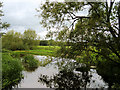
Attingham Park, River Tern
by David Dixon
geograph for square SJ5509
The River Tern, which flows through the centre of the estate, joins the larger... (more)
|
|
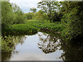
River Tern, Attingham Park
by David Dixon
geograph for square SJ5509
The River Tern, which flows through the centre of the estate, joins the larger... (more)
|
|
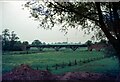
The Aqueduct, Longdon on Tern
by Martin Tester
geograph for square SJ6115
This aqueduct, designed by Thomas Telford and completed in 1796, carried the... (more)
|
|
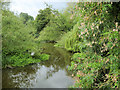
River Tern Downstream from the Suspension Bridge at Attingham Park
by David Dixon
geograph for square SJ5510
|
|
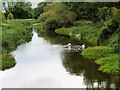
River Tern Upstream from the Suspension Bridge at Attingham Park
by David Dixon
geograph for square SJ5510
|
|
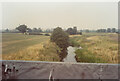
Telford's iron aqueduct 8 - Longdon on Tern, Shropshire
by Martin Richard Phelan
geograph for square SJ6115
One of Telford's many works and a precursor of the Pontcysyllte Aqueduct... (more)
|
|
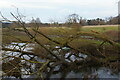
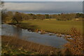
Fallen tree in the River Tern, Attingham Park
by Christopher Hilton
geograph for square SJ5509
|
|
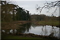
River Tern, Attingham Park
by Christopher Hilton
for square SJ5510
|
|
River Tern, Attingham Park
by Christopher Hilton
geograph for square SJ5509
A weir near the point where the photographer is standing causes the river to... (more)
|
|
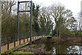
Footbridge over the River Tern, Attingham Park
by Christopher Hilton
geograph for square SJ5510
|
|
Telford's iron aqueduct 9 - Longdon on Tern, Shropshire
by Martin Richard Phelan
geograph for square SJ6115
One of Telford's many works and a precursor of the Pontcysyllte Aqueduct... (more)
|
|
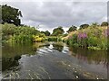
Confluence of the River Tern and River Severn
by TCExplorer
geograph for square SJ5509
You can't really go upstream on the Tern from here, because its both... (more)
|
|
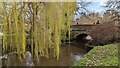
Bridge over the River Tern
by TCExplorer
geograph for square SJ5509
|

|
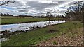
The River Tern
by TCExplorer
geograph for square SJ5510
|
|
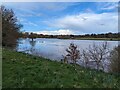
The River Tern
by TCExplorer
geograph for square SJ5510
|
|
Swollen River Tern at Attingham Park
by TCExplorer
geograph for square SJ5510
|
|
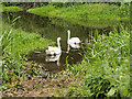
Swans on the River Tern
by David Dixon
for square SJ5510
|
|
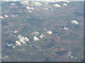
East of Shrewsbury
by M J Richardson
for square SJ4908
Category: Aerial photo
Sharpstone Hill Quarry and Bomere Pool to its right are visible in the low... (more)
|
|
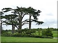
Cedar trees in Attingham Park
by Graham Hogg
geograph for square SJ5510
Beside the River Tern which runs through the parkland
|
|
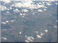
Watling Street and Attingham Park
by M J Richardson
for square SJ5510
Category: Aerial photo
Watling Street [A5], and the railway, stretching out eastwards from Shrewsbury... (more)
|
