|
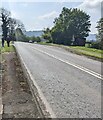
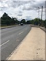
No overtaking on the A4173, Whaddon, Gloucestershire
by Jaggery
geograph for square SO8313
Double white lines in the middle of the road indicate no overtaking. Ahead on... (more)
|
|
Junction of Church Lane and the A4173, Whaddon, Gloucestershire
by Jaggery
geograph for square SO8313
From the left, dead-end Church Lane joins the A4173.
|
|
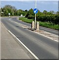
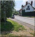
Keep Left sign in the middle of the A4173, Brookthorpe, Gloucestershire
by Jaggery
geograph for square SO8312
Ahead on the A4173 for Gloucester.
|
|
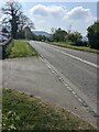
Towards a bend in the A4173, Whaddon, Gloucestershire
by Jaggery
geograph for square SO8313
Ahead for Brookthorpe. Behind the camera the A4173 heads towards the Tuffley... (more)
|
|
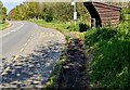
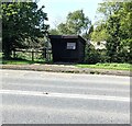
Wooden shelter, Whaddon, Gloucestershire
by Jaggery
geograph for square SO8313
Distinctive shelter near an A4173 bus stop.
Ahead on the A4173 for the Tuffley... (more)
|
|
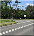
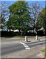
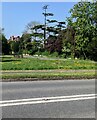
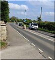
Keep left signs on the A4173, Brookthorpe, Gloucestershire
by Jaggery
geograph for square SO8312
The signs form a pedestrian refuge in the middle of the A4173 Stroud Road.
|
|
Entrance to the Pound Farm Shop & Plant Centre site, Whaddon
by Jaggery
geograph for square SO8313
From the A4173 Stroud Road. The site exit is in the background.
|
|
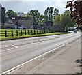
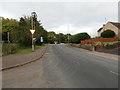
Main road through Brookthorpe, Gloucestershire
by Jaggery
geograph for square SO8312
Looking to the SE along the A4173
|
|
Stroud Road
by HelenK
geograph for square SO8315
This road (= the A4173) skirts the edge of Robin's Wood at this point.
|
|
Church Lane trees, Whaddon, Gloucestershire
by Jaggery
geograph for square SO8313
Viewed across the A4173 in April 2022.
|
|
Towards a bend in the A4173, Whaddon, Gloucestershire
by Jaggery
geograph for square SO8313
Ahead for Gloucester. Behind the camera for Brookthorpe.
|
|
Wynstones nameboard, Whaddon, Gloucestershire
by Jaggery
for square SO8313
Viewed across the A4173. The board on the corner of Church Lane shows... (more)
|
|
Wooden bus shelter, Stroud Road, Whaddon, Gloucestershire
by Jaggery
geograph for square SO8313
Alongside the A4173 opposite Pound Farm Shop.
|
|
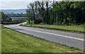
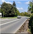
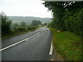
NNW along the A4173, Brookthorpe, Gloucestershire
by Jaggery
geograph for square SO8312
Ahead for Gloucester.
|
|
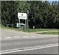
Public footpath direction sign, Brookthorpe
by Jaggery
geograph for square SO8312
The sign near the A4173 points towards this... (more)
|
|
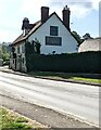
Fagin's, Stroud Road, Brookthorpe, Gloucestershire
by Jaggery
geograph for square SO8312
Restaurant viewed across the A4173.
|
|
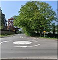
A4173 mini-roundabout, Brookthorpe, Gloucestershire
by Jaggery
geograph for square SO8312
Opposite Haresfield Lane leading to Brookthorpe Park.
|
|
The A4173, Pinchcombe
by Humphrey Bolton
geograph for square SO8508
The church is just visible in the distance. It is raining.
|
|
Grange Road
by HelenK
geograph for square SO8314
The first road on the left as one comes into Gloucester on the Stroud Road.
|
|
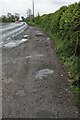
Puddly layby, Great Treaddow, Herefordshire
by Jaggery
geograph for square SO5423
On the west side of the A4137 in rural Herefordshire viewed during light rain on... (more)
|