|
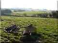
Cambridge roll in a field
by Philip Halling
geograph for square SW8871
Cambridge roll in a field near St Merryn.
|

|
Field roll
by Philip Halling
geograph for square SO8742
The Glebe field at Earl's Croome has had horses in it through winter and... (more)
|

|
Rolling Winter Wheat
by David Wright
geograph for square TA0612
Rolling winter wheat near High Wood Farm.
|
|
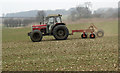
Rolling Winter Wheat
by David Wright
geograph for square TA0613
Rolling winter wheat near High Wood Farm.
|
|
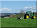
Rolling, Millbank
by Maigheach-gheal
geograph for square NO1840
The field is rolled to help stimulate the grass grwoth.
|

|
Rolling near Greenburn
by Maigheach-gheal
geograph for square NT8360
Rolling a young cereal crop.
|
|
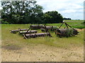
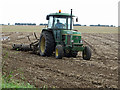
Gang rolls at Boon's Farm near Manea
by Richard Humphrey
geograph for square TL4687
|
|
Rolling near Worlaby
by David Wright
geograph for square TA0313
|

|
Rolling near Burnham
by David Wright
geograph for square TA0617
|

|
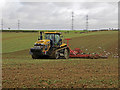
Rolling near Wootton Dale Top
by David Wright
geograph for square TA0415
|
|
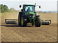
Rolling near North Wold Farm
by David Wright
geograph for square TA0019
|
|
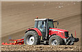
Rolling on Elsham Hill
by David Wright
geograph for square TA0213
|
|
Rolling near Barton Grange
by David Wright
geograph for square TA0120
|
|
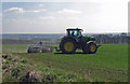
Rolling Winter Wheat near Saxby All Saints
by David Wright
geograph for square SE9916
|

|
Rolling near Bonby
by David Wright
for square SE9916
|

|
Rolling Stubble near Burnham
by David Wright
geograph for square TA0717
|

|
Rolls of agricultural sheeting, alongside the track
by Christine Johnstone
geograph for square SD4212
This is used to cover and protect crops. I think it has just been removed from... (more)
|

|
Ploughing and Rolling
by Tony Atkin
geograph for square TF1525
You used to plough then come back later with the rollers but if you have a big... (more)
|

|
The Past Vicars
by Bill Nicholls
for square SO1858
The vicars of St Michael's Llanfihangel-nant-Melan going back to 1667
|
|
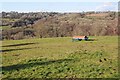
View over the Frome valley
by Philip Halling
geograph for square SO9102
View over the Frome valley, one of the Stroud valleys, viewed from Frampton Mansell.
|

|
St Martha's Church
by Barry Hunter
for square TQ0248
Taken about 100m over the Church, overlooking St Martha's Hill and the... (more)
|

|
North Downs - Aerial 360 Panorama
by Barry Hunter
for square TR0843
A 360-degree panorama taken by drone at approximately 120m above the ground,... (more)
|

|
Wye National Nature Reserve - Aerial 360 Panorama
by Barry Hunter
for square TR0745
A 360-degree panorama taken by drone approximately 110m above the viewpoint at... (more)
|

|
East Grinstead from the Air
by Barry Hunter
for square TQ3938
Aerial 360 panorama image taken 110m above King George's Field.
|

|
Ploughing near Park Farm, Wormegay
by Richard Humphrey
geograph for square TF6613
|

|
No way through - Oil Mill Drove, Welches Dam, Manea
by Richard Humphrey
geograph for square TL4786
This green lane, which I believe is a public right of way, has been blocked off... (more)
|
